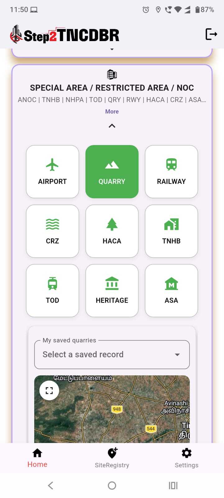
Quarry NOC is a service that helps verify whether your site falls within a quarry affected zone before you plan construction. It checks your district, taluk, village and survey/subdivision against available quarry restriction records and shows the zone status clearly. Get your quarry restriction status checked before submitting your project for DTCP/CMDA approval.
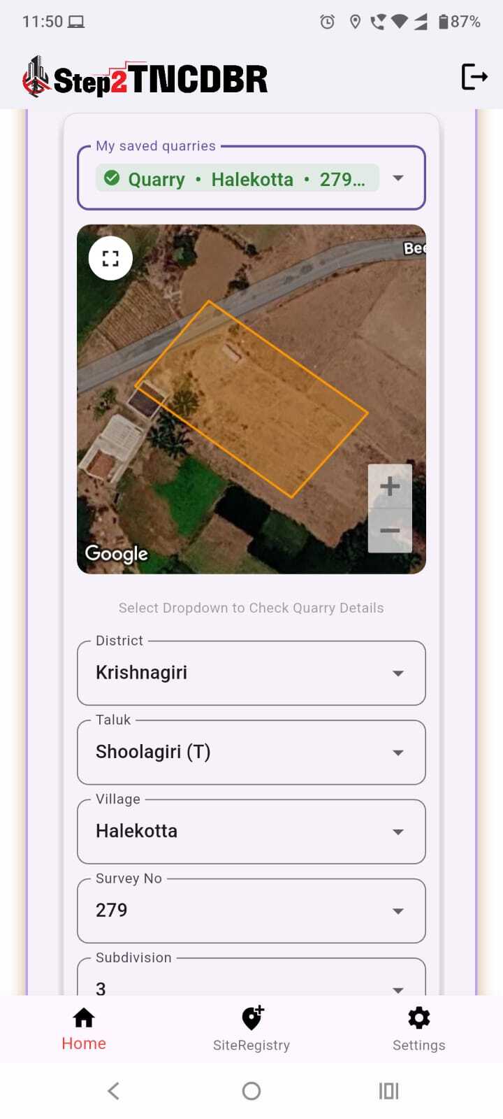
Select your district, taluk, village, survey number and subdivision, or pick from your saved quarry records.
Your plot boundary is shown on a satellite map so you can confirm the right location.
Find out whether your survey/subdivision lies within a Quarry Affected zone, including Highly Restricted Areas.
See the land use recorded for your survey number, such as Agricultural.
Select your site, check the quarry status and receive your report.
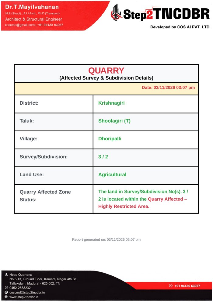
The report shows district, taluk, village, survey/subdivision, land use and the Quarry Affected Zone Status for your site, with the date and time of generation.
Sample result: The land in Survey/Subdivision No. 3 / 2 is located within the Quarry Affected – Highly Restricted Area.
Check quarry restrictions early, before submitting your project for DTCP/CMDA approval, to avoid delays, rejections and redesigns. It helps landowners, buyers, developers and architects know a site's restriction status before investing.
Pricing depends on the site and the scope of work. Contact us for a quote.
This information is prepared based on available quarry restriction records and survey details. It is for reference only. The applicant should verify the status with the concerned authorities and seek formal approval or NOC where required.